
Moving a boundary marker by a few centimeters can be enough to sow discord between neighbors or to call into question the official area of a plot. The Civil Code is clear: only a contradictory boundary demarcation operation, conducted by a licensed surveyor, is legally binding in case of dispute. However, most French plots have never experienced this type of official delimitation. Approximate cadastral plans, erased or never placed markers: the reality on the ground often diverges from administrative documents.
The steps to clarify the boundaries of a plot depend on the origin of the problem, the history of the place, and the willingness of the parties involved. The law strictly regulates everyone’s rights while providing recourse when no agreement can be reached.
Related reading : How to Locate a Car for Free: Effective Methods and Tips to Know
The cadastre and boundary demarcation: understanding the basics to secure your land
No owner should rely solely on the cadastral plan to assess the actual boundary of their land. This document, established primarily for tax reasons, remains indicative: it provides a general overview, but the accuracy leaves much to be desired. Inaccuracies are numerous. Old measurements, displaced markers, natural changes… On the ground, the boundary drawn on a plan is often just a suggestion.
To get closer to reality, the property title becomes an essential step. Many notarial deeds once mentioned distances, alignments of trees, old markers, but these references have sometimes disappeared over time. However, there is a procedure that satisfies everyone: boundary demarcation carried out by a licensed surveyor. This professional, appointed by the concerned owners, establishes the boundary after analyzing documents, precise measurements, and taking into account visible elements on the ground. An official report is then drawn up, making the delimitation indisputable and enforceable against all.
Further reading : How to Easily Flip a Heavy Table: Effective Tips and Techniques
Even before reaching that point, some choose to multiply their research: municipal archives, memories of former neighbors, records of old transactions. These are all clues to cross-reference to anticipate future disputes, especially during a sale or land division. If this approach interests you, feel free to consult how to find missing boundary markers for concrete and methodical details.
How to find a missing boundary marker: practical methods and points of caution
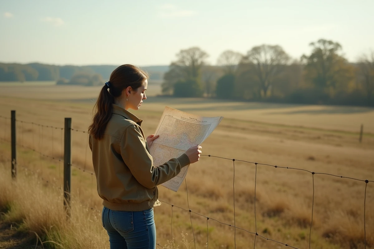
Finding a missing marker requires method, rigor, and patience. The first step is to compile the cadastre, old titles, sketches, and any document that could provide a clue. These sources, however limited, serve as support for an exploration on the ground.
If physical markers have completely disappeared, such as boundary stones, metal stakes, or others, it remains to examine the land carefully. Certain plausible signs, such as an embankment, an old wall, or an alignment of trees, may reveal the trace of an old boundary. But nothing replaces the intervention of a licensed surveyor. This expert comes on-site, equipped with state-of-the-art measuring tools: differential GPS, theodolite, total station. He reconstructs the boundaries based on the surveys and what the land reveals, then formalizes his conclusion in an unequivocal official document.
Several methods prove useful depending on the state of the site:
- Compare observable landmarks on-site with those shown on old plans and known surveys.
- Interview historical neighbors or local authorities: their memory of the places can sometimes fill in the gaps left by archives.
- Explore documents stored at the town hall or departmental archives, which are often richer than one might imagine.
Different techniques can be employed depending on what the situation allows or requires:
Keep in mind: even if a marker is placed back where it was believed to be, it only has legitimacy once confirmed by a surveyor and recorded in an official deed. Makeshift or repositioned boundaries without legal formalities offer no protection; the risk of dispute remains. Ensuring the legality of the boundary demarcation is to protect the value of one’s property over time.
What to do in case of boundary disputes: owners’ rights and solutions in case of disagreement
Between neighbors, the question of a blurry boundary is rarely trivial. Whether the marker has disappeared, a plan is too vague, or memories clash, the dispute can escalate quickly. One owner feels wronged, the other defends their position: it’s a battle of rights and evidence.
Before resorting to legal action, one rule applies: examine property titles and consult the cadastral plan. Often, this is not enough; discussion between neighbors, accompanied by a licensed surveyor, remains the best course of action. If no agreement is reached, bringing the matter to the judicial court becomes necessary. Each party presents their evidence, sometimes assisted by a bailiff, and the judge decides based on the case file, even appointing an independent expert to mediate.
- Friendly boundary demarcation: an agreement between parties, facilitated if necessary by a licensed surveyor, helps avoid tensions and bureaucratic delays.
- Judicial procedure: if dialogue fails, resorting to the court and mandated boundary demarcation resolves the issue in accordance with the law.
- Prescription: in specific cases, peaceful and prolonged occupation of the land can secure ownership over time.
In the face of disagreement, several avenues can be pursued depending on the extent of the conflict:
Notarial deeds filed with the land publicity service, archiving, and past agreements prove to be valuable bulwarks against uncertainty. Consulting an experienced professional is to choose peace of mind and protect one’s assets against unpleasant surprises.
Ultimately, finding a marker is about reclaiming certainty in one’s rights, but also establishing a fixed point in the landscape: a presence that soothes and reminds that the land has its boundaries, for good.